
Light Detection and Ranging (LiDAR)
LiDAR (stands for Light Detection and Ranging) is a remote measurement technique, that incorporates laser pulses (used in most types of LiDAR) or laser frequency modulation for distance estimation and scanning of environment. The technology of LiDAR is built on basic principles of physics – the range measurement is calculated by taking into account the time it took for the laser pulse to reflect off of a surface and echo back to a detector or a sensor.
LiDAR Overview
LiDAR (stands for Light Detection and Ranging) is a remote measurement technique, that incorporates laser pulses (used in most types of LiDAR) or laser frequency modulation for distance estimation and scanning of environment. The technology of LiDAR is built on basic principles of physics – the range measurement is calculated by taking into account the time it took for the laser pulse to reflect off of a surface and echo back to a detector or a sensor. A crucial quality of the LiDAR measurement process is the time of flight (ToF) which is used to calculate the distance between the LiDAR mechanism and the object. When taking into account the finer details of the calculation, one must mention the round-trip delay. It can be measured in a few different ways – by modulating either the intensity, the phase or the frequency of the light wave. From these approaches, a few main types of LiDAR arise, making it a diverse and modifiable technology.
General Setup
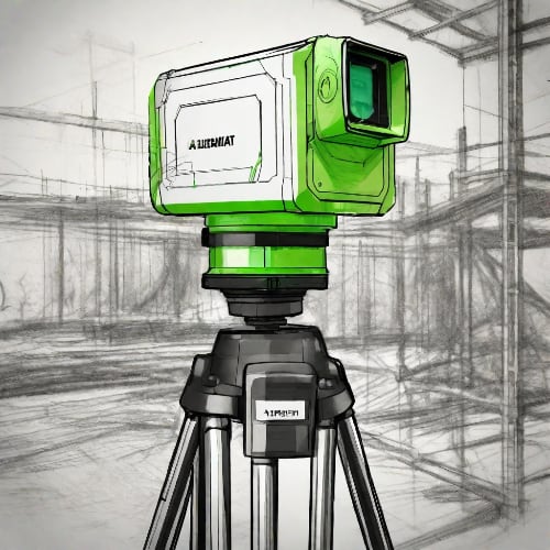
The fundamental part of a LIDAR system is a laser coupled with a photo-sensitive scanner. The main LiDAR architecture also includes a beam deflection block, power management and a control unit. In combination these units allow for signal processing and spatial information collection. A single LiDAR mechanism can have multiple lasers, that can grant a larger space illumination, which can be useful for various functions such as the mechanism of self-driving automobiles. For such and other numerous devices the SWAP-C (Size, Weight. Power and Cost) characteristic of a laser are definitely meaningful when designing a product.
Three main LiDAR composition types are distinguished, according to their round-trip delay time estimation – pulsed, amplitude-modulated continuous wave (AMCW) and frequency-modulated continuous wave (FMCW). A pulsed LiDAR is characterized by its satisfactory precision, which is executed by the high peak power of the single laser pulse, that still remains safe to the human eye. Its quality is also improved by broadening the bandwidth of the pulse, while the average pulse duration remains to fall in the nanosecond range. The pulsed technique can be applied either to flash LiDAR or beam-steering mode. AMCW can reach the same precision as pulsed LiDAR, but within shorter operation ranges. The beam is modulated by changing its amplitude or peak intensity and at the detector the phase difference is measured. The FMCW technique remains to hold the title of the best precision, though only at highly close ranges. During this type of LiDAR, the frequency of the waveform is modulated after it interacts with an outside object, and the sensor reads the interference patterns of the received signal. If the recorded object is moving the frequency experiences a Doppler shift. At the detector, the received light combines and interferes with the original local frequency. This collected information about the changed frequency allows to calculate the sought distance and motion speed at the same time. In such situation, a large frequency bandwidth becomes an advantage in the overall performance. FMCW LiDAR is characterized by finer resolution, and greater sensitivity and is relatively easier to implement in an eye-safe manner.
To construct a three-dimensional image, one can imagine that a multitude of measurements is needed, in which each point corresponds to a point in the observable environment (a point cloud). Two pulsed LiDAR approaches exist to cover each point in the field of view – either a flash LiDAR technique is used, or a rotational/scanning system, that is able to steer the beam in a desired manner. A flash LiDAR approach uses a single wide-angular laser pulse to illuminate the whole field simultaneously. Long-range flash LiDAR requires high peak power (kW range), which can be emitted only by Q-Switched DPSS lasers, typically featuring bulkier designs. However, recently compact and cost-efficient lasers have been revealed with a peak power approaching 100 kW.
As a state-of-art, for long distance measurements beam-steering LiDARs are more popular than flash LiDAR, since the entire lasers power is concentrated to a single point.
Laser Qualities
For applications that may interfere with people in their day to day life, it is important to choose a laser source that is safe to the human eye - the laser intensity and power must remain within the safety limits and remain just below the milliwatt region. Since the emitted light must fall within the safety limits while still displaying peak performance, the laser must produce short pulses (a few nanoseconds) that have a high peak power. A narrow bandwidth is a favorable characteristic, since many different optical effects are commonly dependent on the wavelength of the incoming light. Thus a narrow bandwidth ensures that the beam remains and acts in a uniform manner. This is also relevant when taking into account the background light during the LiDAR measurement – a narrow bandwidth filter can be used to filter out the background illumination, thus a narrow bandwidth laser will produce a higher peak power and intensity. These qualities, together with beam motion, its diameter and divergence all play a part in the maximum permissible exposure of the laser. With all of these parameters in mind, the most popular wavelengths used for LiDAR fall in the infrared light range and are 1550 nm, 850 nm, 1300 nm, and 905 nm.
When choosing a laser wavelength, it is important for one to consider the object of illumination. In the most general sense, LiDAR can be categorized into two branches: topographic and bathymetric LiDAR, and in both of these approaches a different laser source is used, according to the specific applications. A topographic method is used to image land territories, for this application a near-infrared laser serves the purpose. In the case of a bathymetric approach, the mapping of the floor of water bodies is taking place, for this, the laser light must penetrate the water and commonly is in the green light (532 nm) spectrum. The near-infrared is invisible to the human eye and is completely absorbed by water, making it perfect for land measurements, while a green light pulse can pass through water, but is visible to an outside observer.
Application
The recorded LiDAR data can be, and often is transformed into a three-dimensional image, which grants the application of such technology in numerous fields. For an example, a detailed view of a broad area of the Earth’s surface can be generated, and as a result the mechanism is commonly placed or attached to aircrafts. If so, a GPS receiver may as well be integrated into the setup. The approach serves a wide variety of needs that may include land management, planning of cities and preparation for natural hazards, agriculture and forestry, geological mapping, meteorological forecast and others activities and research. Some other exciting applications include the navigation and control of autonomous cars, and the terrain exploration of extraterrestrial bodies. One could mention the Mars rover Perseverance and helicopter Ingenuity, that are currently using LiDAR technology to record the terrain of Mars, to help the rover navigate on the planet’s surface. Not to mention, the approach was also crucial for the landing of the rover itself. Thus LiDAR can be viewed as a highly adaptable method that proves itself worthy wherever distance measurement is an essential part of a process.
Relevant Products
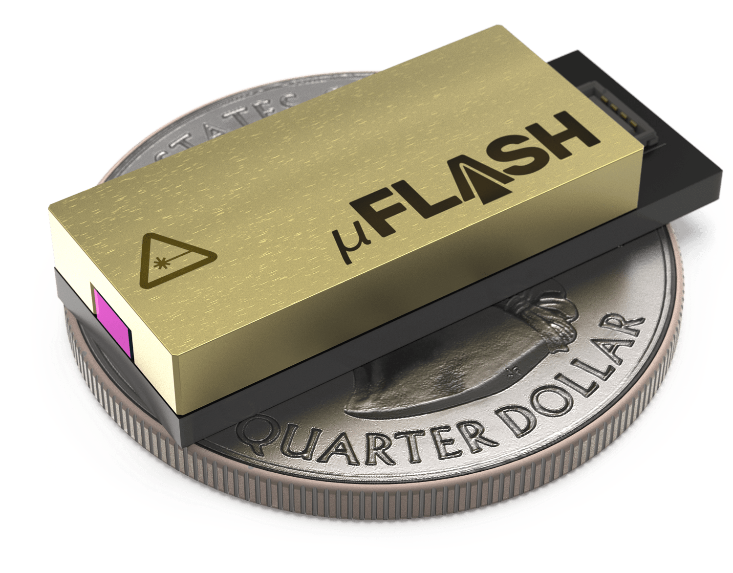
1030 nm SLM Laser
Spectral line width FWHM, pm: 0.8
Power stability, % (RMS, 8 hrs): 0.5
Pulse-to-pulse stability, % RMS: 2
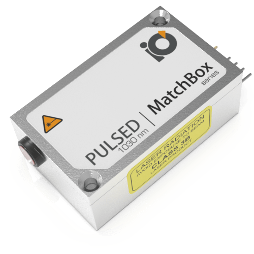
1030 nm Nanosecond Q-Switch Laser
Spectral line width FWHM, nm: 0.7
Pulse energy, µJ: 100
Pulse-to-pulse stability, %: 20
Warranty, months: 14 (Limited)
1030 nm Laser
Spectral line width FWHM, nm: 0.7
Output power, mW: As per request
Power stability, % (RMS, 8 hrs): 0.5
Pulse-to-pulse stability (RMS of peaks): 10
Warranty, months (op. hrs): 14 (10000)